Overview of Mount Cho Oyu
Mount Cho Oyu, standing at 8,188 meters (26,864 feet) above sea level, is the sixth-highest mountain in the world. It belongs to the Mahalangur Himalaya range and lies on the international border between Nepal and China’s Tibet Autonomous Region, approximately 20 kilometers west of Mount Everest.
The name Cho Oyu is commonly translated from Tibetan as “Turquoise Goddess.” The mountain is famous for its enormous snow-covered slopes, extensive glaciers, and impressive Himalayan scenery.
Its northern side lies in Dingri County, Shigatse, Tibet, while its southern slopes extend into Nepal’s Khumbu region. Because of its location near the historic Nangpa La Pass, Cho Oyu has also played an important role in historical trade and cultural connections between Tibetan communities and Nepal’s Sherpa people.
Among the world’s 14 mountains above 8,000 meters, Cho Oyu is often considered one of the more accessible climbing objectives, although reaching its summit remains a serious high-altitude mountaineering challenge.
Geography and Mountain Features
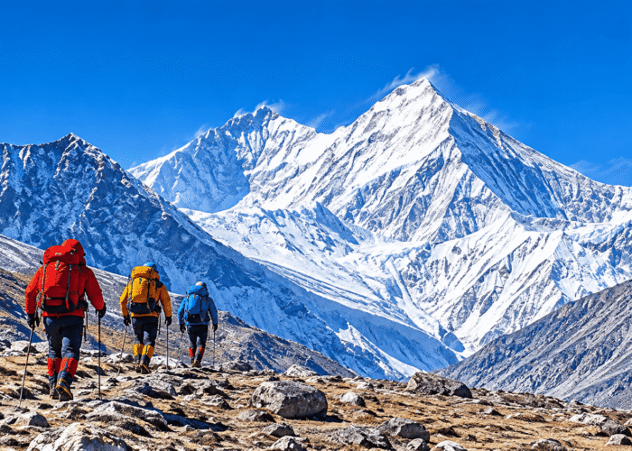
Mount Cho Oyu is part of the Mahalangur Himalayas, which also include Mount Everest, Lhotse, and Makalu. Its massive mountain body features broad snowfields, steep ridges, ice-covered slopes, and extensive glacial valleys.
Several important neighboring peaks include:
- Gyachung Kang: Approximately 7,952 meters, located east of Cho Oyu.
- Kangchungtse: Approximately 7,678 meters, a subsidiary peak of Makalu farther east.
- Menlungtse: Approximately 7,175 meters, located southwest of Cho Oyu.
- Tseringma: Approximately 7,134 meters, in the surrounding Himalayan region.
The northern slopes of Cho Oyu overlook Tibet’s remote mountain valleys, while its southern approaches connect with Nepal’s Khumbu region.
Glaciers and Ice Formations
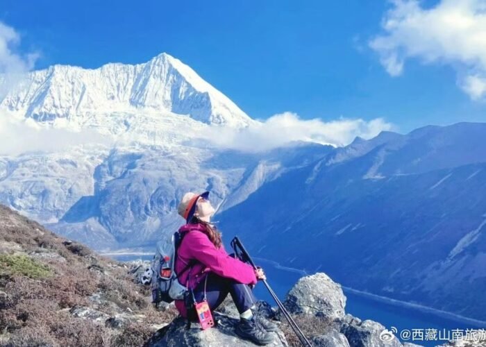
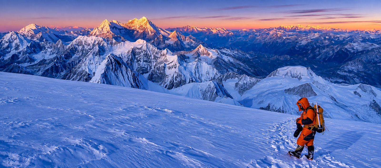
Glaciers are among the most distinctive geographical features of Mount Cho Oyu. Permanent snow and ice cover much of its upper slopes, creating deep crevasses, ice formations, and steep glacier sections. The mountain’s high-altitude environment can experience avalanches, unstable snow, strong winds, and sudden weather changes. These conditions make climbing dangerous, even for experienced mountaineers.
Mount Cho Oyu: A Historic Gateway Between Tibet and Nepal
Mount Cho Oyu lies close to Nangpa La Pass, a high-altitude glaciated pass at approximately 5,716 meters. For generations, Nangpa La served as an important traditional trading route connecting Tibetan communities with Sherpa settlements in Nepal’s Khumbu region. Traders historically crossed the Himalayas carrying goods between the two regions.
This geographical connection gives Cho Oyu significance beyond mountaineering. It is part of a wider Himalayan landscape shaped by centuries of cultural exchange, trade, and movement between Tibet and Nepal. Today, international border regulations and access restrictions mean that the historic pass should not be considered an ordinary tourist crossing.
Mount Cho Oyu Climbing History
Mount Cho Oyu has an important place in the history of Himalayan mountaineering. Its first successful ascent in 1954 was a significant achievement during the early exploration of the world’s highest mountains.
1952: First British Expedition
In 1952, a British reconnaissance expedition led by Eric Shipton explored Cho Oyu as part of preparations for future Himalayan expeditions. The team included Edmund Hillary and other well-known mountaineers. The climbers reached approximately 6,650 meters before abandoning the attempt.
1954: First Successful Ascent
On October 19, 1954, Austrian mountaineers Herbert Tichy and Joseph (Sepp) Jöchler, together with Pasang Dawa Lama, successfully reached the summit of Cho Oyu. The expedition climbed via the northwest ridge from the Tibetan side without supplemental oxygen. This achievement established Cho Oyu as the fifth 8,000-meter mountain to be successfully climbed. Guinness World Records+1
1985: First Winter Ascent
On February 12, 1985, Polish climbers Maciej Berbeka and Maciej Pawlikowski completed the first winter ascent of Cho Oyu. This achievement demonstrated the additional difficulties of climbing an 8,000-meter mountain during the Himalayan winter.
Cho Oyu in Tibetan Culture and Spiritual Beliefs
Mount Cho Oyu is regarded as a sacred mountain in Tibetan tradition. Its name, commonly translated as “Turquoise Goddess,” reflects its association with Tibetan spiritual beliefs and the natural landscape. Traditional accounts describe the mountain deity as a powerful guardian figure associated with protection and the surrounding Himalayan environment.
For local communities, sacred mountains are important parts of Tibetan cultural identity and religious traditions. Visitors should respect local customs and avoid disturbing religious sites or culturally significant places.
How to Reach Mount Cho Oyu from Tibet
The northern side of Mount Cho Oyu is approached through Dingri County in Shigatse. The general overland journey from Lhasa passes through several important destinations in southern Tibet.
Stage 1: Lhasa to Shigatse
Travel southwest from Lhasa toward Gyantse and Shigatse along the major highways. Shigatse is an important regional center and a convenient stop before continuing toward the Himalayan border region.
Stage 2: Shigatse to Dingri
Continue west toward Dingri (Tingri), passing through the high-altitude landscapes of southern Tibet. Dingri provides access to the northern Himalayan region and views of several major mountain peaks.
Stage 3: Dingri to Cho Oyu Base Camp Region
The historical approach described in regional accounts continues from Dingri toward Gangga and the Gyabula Glacier area.
- Dingri to Gangga: Approximately 67 km according to the historical route.
- Gangga to Gyabula Glacier area: Approximately 40 km.
- Reported elevation: Around 4,959 meters.
These distances and route descriptions should be treated as historical reference information rather than confirmation of current road access or an officially designated tourist route. Mountaineering expeditions require separate arrangements, appropriate permissions, and confirmation of the designated base camp and access conditions.
Travel Tips for Visiting Mount Cho Oyu
Traveling around Mount Cho Oyu requires careful preparation because of its high elevation, remote location, and proximity to an international border.
- Acclimatize gradually: Spend sufficient time adjusting to Tibet’s altitude before entering higher mountain areas.
- Check travel permits: Foreign visitors must follow applicable Tibet travel regulations and obtain additional permissions where required.
- Prepare for cold weather: Strong winds, snow, and sudden temperature changes are common in the high Himalayas.
- Arrange local support: Remote mountain travel may require experienced guides, suitable vehicles, and logistical assistance.
- Respect local culture: Follow local customs and respect the spiritual significance of sacred mountains.
- Verify access conditions: Confirm current road conditions, border restrictions, and base camp accessibility before traveling.
Is Mount Cho Oyu Worth Exploring?
For travelers interested in Himalayan geography, Tibetan culture, and mountaineering history, Mount Cho Oyu is an extraordinary mountain to discover. Its enormous glaciers, distinctive mountain landscape, and historical connections between Tibet and Nepal make it an important landmark in the Tibetan Himalayas.
Although Cho Oyu is a popular objective for experienced mountaineers, reaching its base camp is not the same as visiting an ordinary tourist attraction. High altitude, limited infrastructure, and border restrictions require careful planning. Travelers should confirm current access permissions before arranging a journey.
Frequently Asked Questions About Mount Cho Oyu
How high is Mount Cho Oyu?
- Mount Cho Oyu is 8,188 meters (26,864 feet) high, making it the sixth-highest mountain in the world. Some older references list its elevation as 8,201 meters.
Where is Mount Cho Oyu located?
- It is located in the Mahalangur Himalayas on the border between Tibet, China, and Nepal, approximately 20 kilometers west of Mount Everest.
What does Cho Oyu mean?
Cho Oyu is commonly translated as “Turquoise Goddess” in Tibetan.
When was Mount Cho Oyu first climbed?
- Mount Cho Oyu was first successfully climbed on October 19, 1954, by Herbert Tichy, Joseph Jöchler, and Pasang Dawa Lama.
Can tourists visit Mount Cho Oyu from Tibet?
- Access depends on current government regulations, local permissions, and border restrictions. Travelers should confirm the latest requirements before planning a visit.
Is Mount Cho Oyu near Mount Everest?
- Yes. Cho Oyu is approximately 20 kilometers west of Mount Everest, making both mountains part of the Mahalangur Himalayan region.
What is the nearest historic mountain pass to Cho Oyu?
- Nangpa La Pass, at approximately 5,716 meters, lies a few kilometers west of Cho Oyu. It historically connected Tibet with Nepal’s Khumbu region.
Conclusion
Mount Cho Oyu is one of the most remarkable mountains in the Tibetan Himalayas. As the world’s sixth-highest peak, it combines spectacular glaciers, challenging climbing routes, rich Tibetan spiritual traditions, and a fascinating history of Himalayan exploration.
Its location along the Tibet–Nepal border gives it particular geographical and historical importance. For anyone interested in Tibet’s sacred mountains and the natural wonders of the Himalayas, Cho Oyu is an essential mountain to discover.
References and further reading
- Cho Oyu – Wikipedia – Geography, elevation, climbing history, and neighboring peaks.
- Nepal Tourism Board – Cho Oyu – Mountain profile, location, and historical information.
- Himalayan Database – Cho Oyu – Mountaineering records and first ascent.
- Guinness World Records – First Ascent of Cho Oyu – Historical first ascent details.