Overview of Mount Shishapangma
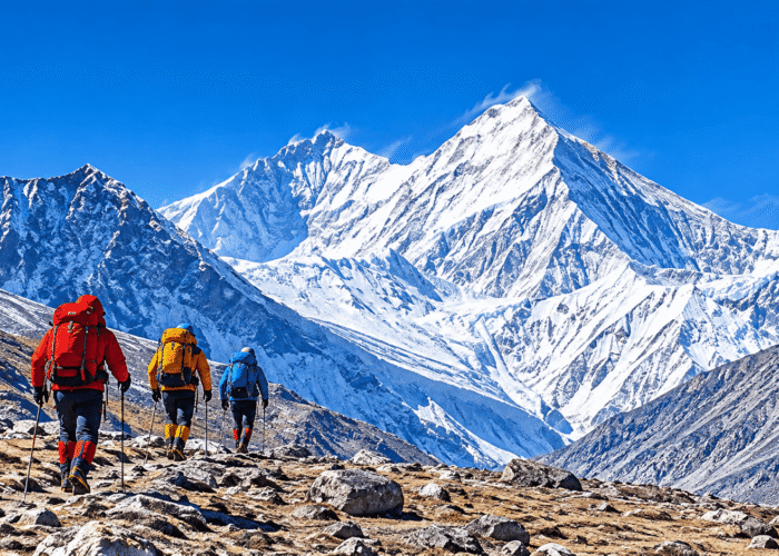
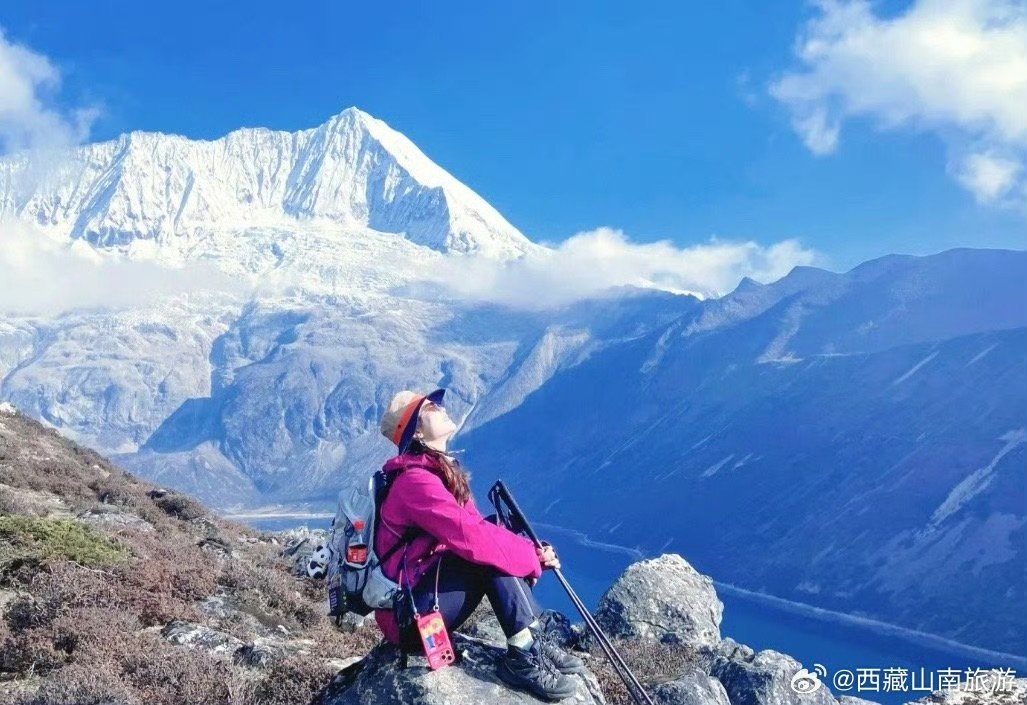
Mount Shishapangma, also known as Shishapangma Peak, rises to 8,027 meters (26,335 feet) in the central Himalayas. It is the 14th-highest mountain in the world and the only one of the 14 eight-thousanders located entirely within China. The mountain is in Nyalam County, Shigatse, in southwestern Tibet, close to the Nepal border. Its name is often translated as “the range above the grassy plains,” although interpretations vary. Shishapangma is known for its snow-covered summit, extensive glaciers, and dramatic Himalayan scenery.
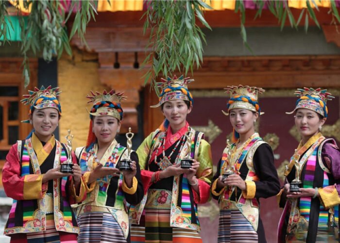
The mountain also holds cultural significance in Tibet, where traditional stories and songs celebrate it as an auspicious and sacred peak.
Why Is Mount Shishapangma Important?
Shishapangma is especially important for three reasons.
The Only Eight-Thousander Entirely Within Tibet
Of the world’s 14 mountains higher than 8,000 meters, Shishapangma is the only one located entirely within Tibet’s borders. Its position makes it a distinctive landmark of the Tibetan Himalayas.
The Last of the 14 Eight-Thousanders to Be Climbed
Shishapangma was the final mountain in the group of 14 eight-thousanders to receive its first confirmed ascent. A Chinese expedition reached its summit on May 2, 1964, completing a major chapter in Himalayan mountaineering history.
A Mountain with Cultural Significance
Shishapangma is associated with Tibetan stories and traditional interpretations of its name. One widely cited translation is “the Crest above the Grassy Plains.” Another interpretation recorded in Tibetan studies describes a story connected with severe snowfall and hardship. The different explanations show that the name has a more complex history than a single translation suggests.
Mount Shishapangma Climbing History
Shishapangma’s climbing history is closely connected with the development of modern Himalayan mountaineering.
1964: First Ascent of Mount Shishapangma
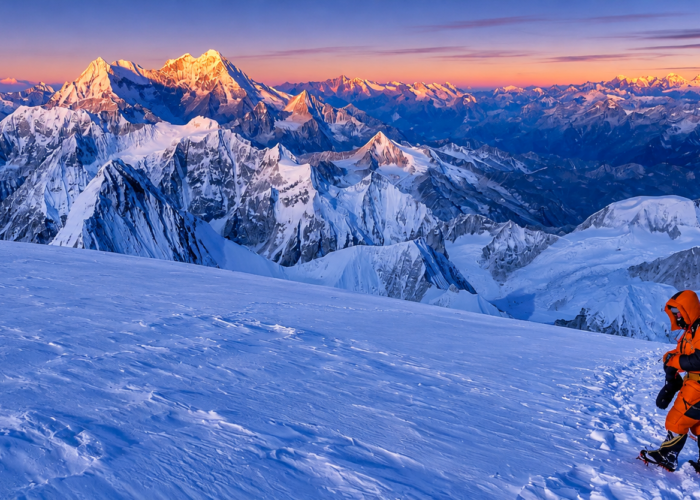
On May 2, 1964, a Chinese expedition reached the summit via the northern route. Ten climbers from the expedition were reported to have reached the top.
1980: First Ascent by a Foreign Expedition
A German expedition made the second ascent on May 7, 1980, after foreign climbing access to Tibet became possible.
1982: First Ascent of the Southwest Face
In 1982, British climbers Doug Scott, Alex MacIntyre, and Roger Baxter-Jones completed a landmark ascent of the southwest face. The route was technically demanding and became an important achievement in alpine-style Himalayan climbing.
2005: First Winter Ascent
On January 14, 2005, Polish climber Piotr Morawski and Italian climber Simone Moro completed the first winter ascent of Shishapangma.
Recent Climbing Restrictions
Shishapangma has also experienced serious climbing accidents. On October 7, 2023, two avalanches killed four climbers on the mountain, after which climbing activities were suspended.
According to reports published in 2026, Shishapangma remained closed to foreign climbing teams for both the spring and autumn 2026 seasons. This refers to mountaineering expeditions and should not automatically be interpreted as a complete ban on all travel in the wider region. Anyone planning an expedition must obtain current confirmation from the relevant authorities.
North and South Slopes: Two Different Landscapes
Shishapangma has contrasting northern and southern landscapes shaped by differences in elevation, precipitation, and local geography.
The Northern Slope: Plateau and Glaciers
The northern side faces the Tibetan Plateau and includes high-altitude glacier valleys, rocky terrain, moraine deposits, and glacial lakes. The Yebokangjale Glacier is among the notable glaciers in this area. Historical mountaineering accounts describe the glacier as part of the approach to the mountain’s northern base camp.
The landscape is generally open and exposed, with wide views across the high plateau. Wildlife in the wider region includes high-altitude species adapted to cold and dry conditions, although sightings depend on location and season.
The Southern Slope: Deep Valleys and Glacial Terrain
The southern side descends toward Nepal and includes steep mountain valleys and extensive glacial terrain. The Nyanang Phu Glacier and Fu Qu valley are important geographical features on this side. The Fu Qu valley is also the subject of scientific research into glacial history and past climate conditions in the central Himalayas.
The southern landscape is generally more influenced by the Himalayan monsoon than the northern plateau, creating a noticeable contrast in vegetation and environmental conditions.
Best Time to Visit and Photograph Mount Shishapangma
The best time to photograph Shishapangma depends on weather, visibility, road conditions, and local access permissions. Spring and autumn are commonly considered useful seasons for mountain photography in this part of Tibet. Clear mornings may provide better views before clouds develop, while late-afternoon sunlight can highlight the mountain’s ridges and glaciers.
Photography Tips
- Photograph early: Morning conditions may offer clearer views of the summit.
- Use a telephoto lens: Capture distant ridges, glaciers, and snow-covered peaks.
- Protect your equipment: Cold temperatures can reduce camera battery performance.
- Check the weather: Cloud cover and snowfall can change quickly.
- Allow extra time: Do not rely on a single day for clear mountain views.
No season guarantees good visibility, so flexible travel arrangements are recommended.
How to Reach Mount Shishapangma from Lhasa
The general overland approach from Lhasa travels west through Shigatse and the Dingri area toward Nyalam County. The northern side of Shishapangma is reached from the Tibetan Plateau.
A historical expedition account describes the northern approach via the Yebokangjale Glacier, with a base camp established at approximately 5,000 meters. Modern expedition sources also describe vehicle access to a northern base camp at around this elevation.
Stage 1: Lhasa to Shigatse
Travel from Lhasa toward Shigatse through the central and southern Tibetan plateau. This is a long overland journey through high-altitude towns and valleys.
Stage 2: Shigatse to Dingri and Nyalam
Continue west toward Dingri and then the Nyalam region. Road conditions, travel time, and the permitted route depend on current local arrangements.
Stage 3: Northern Mountain Approach
The historical mountaineering approach continues toward the northern glacier and expedition base camp. This is a high-altitude mountaineering area, not an ordinary sightseeing destination.
Important: Reaching the Shishapangma base camp is different from visiting a regular tourist attraction. Expedition access requires specific authorization, and climbing restrictions have affected recent seasons. Do not assume that a historical route or base camp is currently open to independent visitors.
Travel Tips for Visiting the Shishapangma Region
The Shishapangma region is remote and close to the international border. Travelers should prepare carefully.
- Check travel permissions: Confirm current Tibet travel requirements and any additional restrictions for Nyalam County.
- Allow time for acclimatization: The region includes very high elevations, where altitude sickness is a serious risk.
- Prepare for limited services: Facilities become increasingly limited outside major towns.
- Bring suitable clothing: Pack warm layers, windproof outerwear, sunglasses, and sun protection.
- Arrange local transport: Use an experienced driver familiar with the region and current road conditions.
- Respect local communities and nature: Follow local guidance and avoid disturbing wildlife.
Where to Stay
Nyalam and Old Tingri have historically served as accommodation and transit points for travelers exploring the western Tibetan Himalayas. However, hotel availability, facilities, and prices can change. Check current accommodation options before departure. For journeys into remote areas, confirm fuel, food, transport, and emergency arrangements in advance.
Frequently Asked Questions About Mount Shishapangma
How high is Mount Shishapangma?
- Mount Shishapangma is commonly listed at 8,027 meters (26,335 feet), making it the 14th-highest mountain in the world.
Where is Mount Shishapangma located?
It is located in Nyalam County, Shigatse, southwestern Tibet, near the Nepal border.
Why is Mount Shishapangma unique?
It is the only one of the world’s 14 eight-thousanders located entirely within China.
When was Mount Shishapangma first climbed?
- A Chinese expedition led by Xu Jing completed the first ascent on May 2, 1964.
Is Mount Shishapangma a sacred mountain?
- The mountain has cultural significance in Tibetan tradition and is associated with local stories and interpretations of its name. It is often described as an auspicious or sacred peak.
What is the best time to photograph Mount Shishapangma?
- Spring and autumn can offer favorable photography conditions, but visibility depends on local weather.
Can tourists visit Shishapangma Base Camp?
- Access depends on current regulations and local authorization. The base camp is primarily associated with mountaineering expeditions, so visitors should not assume it is open as a general tourist destination.
Conclusion
Mount Shishapangma is one of the most distinctive mountains in the Tibetan Himalayas. At 8,027 meters, it is the world’s 14th-highest peak and the only eight-thousander entirely within China.
Its glaciers, contrasting northern and southern landscapes, climbing history, and cultural associations make it an important natural landmark of Tibet. Although access to the mountain itself is restricted and expedition rules can change, Shishapangma remains a fascinating subject for anyone interested in Himalayan geography and mountaineering.